Découvrir le Mont
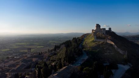
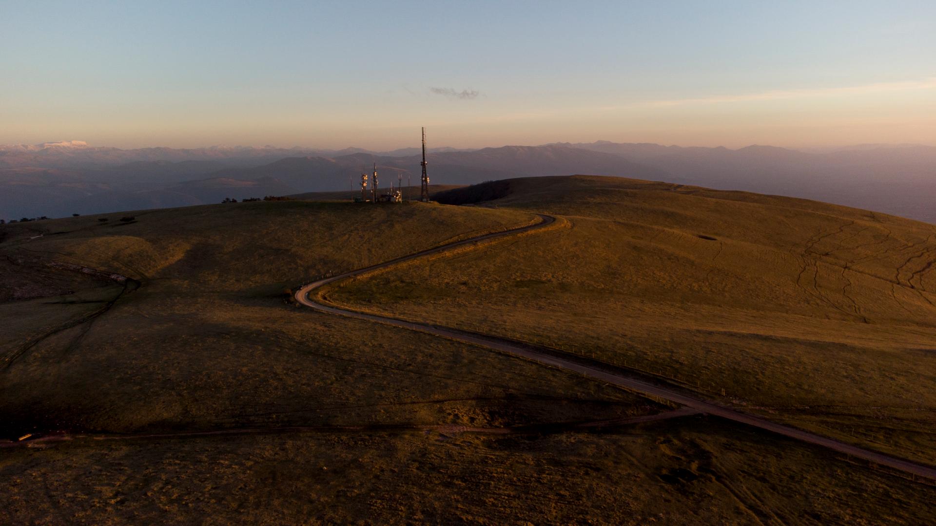
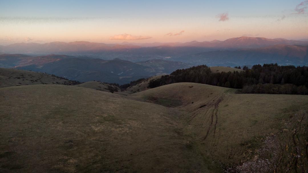
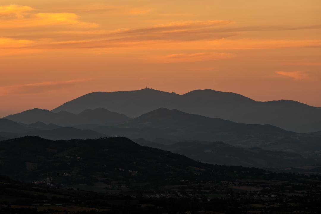
Mount Subasio rises majestically and solitarily between the Umbra Valley, the Tescio Valley to the north and the Topino Valley to the east, dominating its surroundings with its imposing bulk.
The unmistakable rounded profile of Mount Subasio, defined by Gortani, in 1908, as 'turtle back', makes the mountain easily identifiable in the Umbrian skyline and beyond. In fact, the Mount is an isolated relief from the rest of the Apennine chain, with typical summit grasslands occupying the main peaks of the massif. Its shape is characterised by a particularly interesting geological structure: it is elongated NW-SE and its shape seems to define a large 'D'.
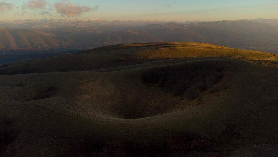
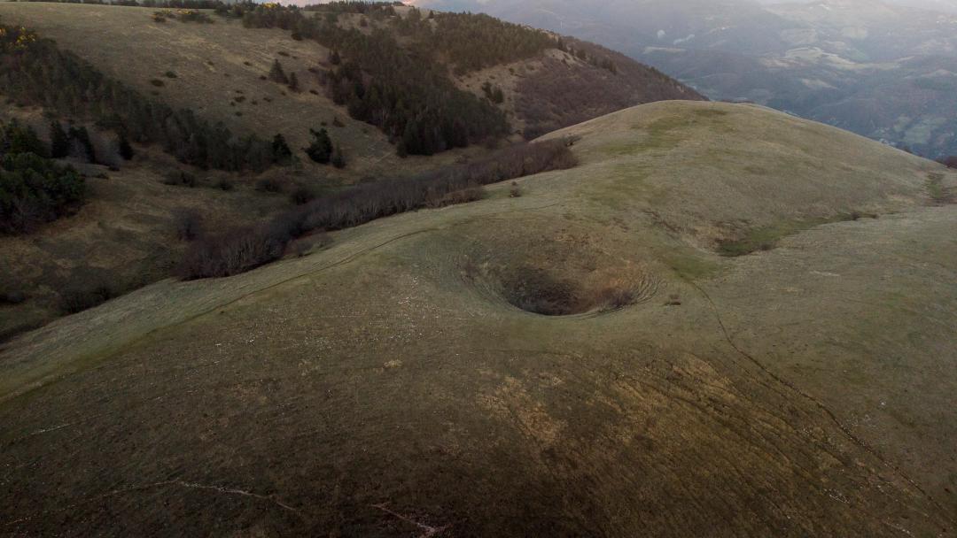
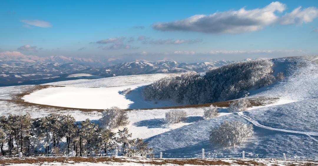
The summit area of the Mount presents evident morphological depressions of karst origin (dolines) due to the incessant and persistent action of water, which, given the calcareous nature of the rock that makes up the relief, have modelled evocative and imposing forms in the landscape. These depressions are called by the local term Mortari due to their similarity to a kitchen mortar.
A historical aspect related to dolines is their use in past centuries for ice production; in fact, dolines were used to accumulate the copious snow that fell in winter. This was then covered with brushwood and earth to improve preservation. In addition to sinkholes, artificial holes that were used for the same purpose, known as ghiaccioni or snow holes, are also very evident on Mount Subasio. The snow holes, dug in ancient times, are still visible today and are not to be confused with the dolines of natural origin.
