Points of Interest
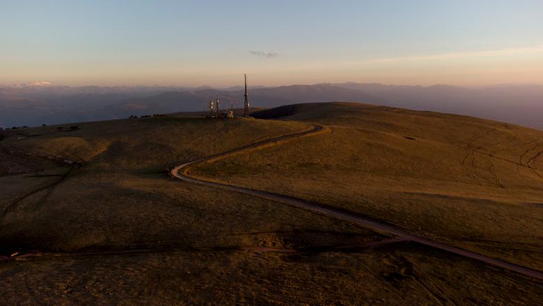
On the summit area of Mount Subasio there are conspicuous karst phenomena due to the permeability of the limestone layers, the almost flat morphology and the presence of faults that have favoured dissolution along well-defined alignments.
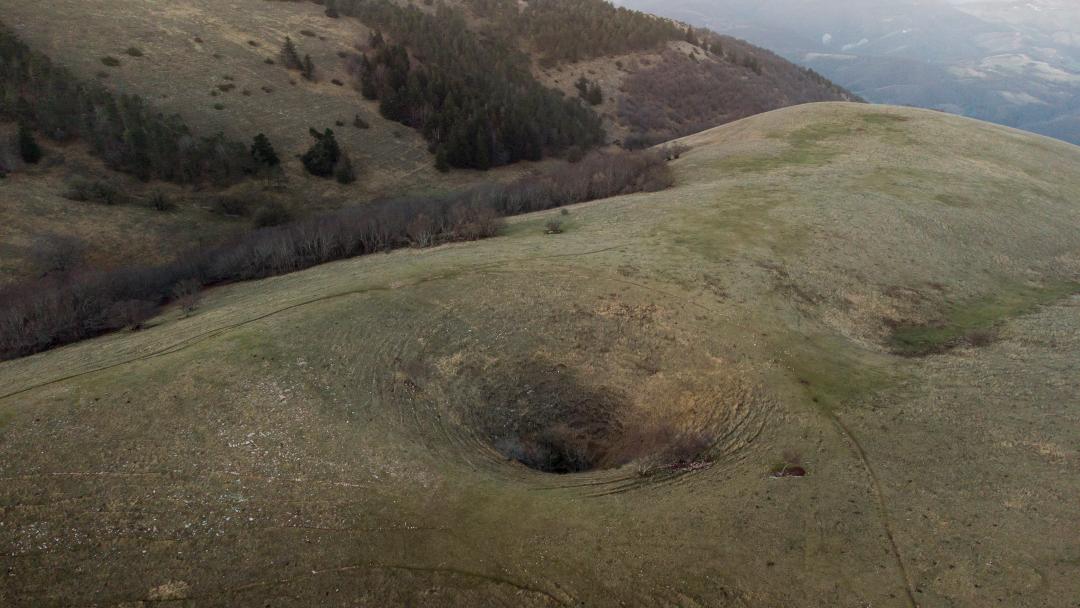
Two main types of dolines are identified: sinking dolines, known by the local term 'mortari', and superficial dissolution dolines, known as 'pits'.
Mortaro Grande and Mortaiolo are two deep, almost contiguous dolines. The former has a slightly elliptical shape with the major axis about 270 metres long and the minor axis 220 metres long. Its shape is intermediate between bowl-shaped and funnel-shaped dolines, presenting fairly steep walls and a rounded bottom. The depth is about 60 metres. To the north-east of this large doline is the sub-circular Mortaiolo: its diameter is about 70 metres, the depth is about 20 metres and the bottom is reached after a steep and dangerous descent due to the steepness of the walls, especially in the lower part. Due to the particular shape of this type of depressions, they are referred to as 'goblet dolines'. Another sinkhole is the Mortaro delle Trosce, located about 500 metres north-east of the antennas. It is circular in shape with a cross-section similar to that of Mortaro Grande, the diameter is about 160 metres and the depth is 50 metres.
Among the 'pits', Fossa Rotonda, located about 400 metres north-west of the summit of Subasio, is a flat-bottomed sinkhole, with a major diameter of about a hundred metres, the minor 43 metres and a depth of about 12 metres. It was waterproofed to collect rainwater in order to feed the Vallonica drinking troughs.
West of the summit of Monte Subasio is Fossa Cieca, a bowl-shaped doline with an average diameter of 17 metres and a depth of 4 metres. Also at the bottom of this is a collection pit and a cistern that feeds a drinking trough.
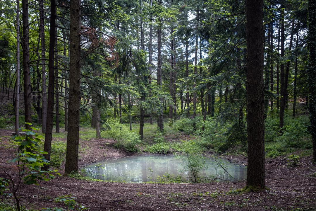
On the Spello side is the lake of Pietrolungo, a flat, wide and slightly depressed doline with a diameter of about 40 metres, at the centre of which a small pool of water remains. The entire doline and the surrounding area have been affected by reforestation, so that the karst phenomenon is currently hardly recognisable.
In addition to the described epigean karst phenomena, the flat top of the relief is dense with other numerous flat-bottomed depressions with highly variable diameters and depths, but which are attributable to surface karst. A very conspicuous valley of karst origin, rising from the Assisian slope, is the Vallonica area. The shape of the landscape reveals the coalescence of dolines smaller than those described so far (uvala). Interesting is the presence of a temporary pool of water in one of these small depressions (along path no. 350 towards Sasso Piano).
Hypogeous karst phenomena are not very frequent, and the fact is attributable to the nature of the limestone rock itself, which has regular stratification varying from a few centimetres to 50 cm. This, however, has not prevented the formation of some cavities in communication with the outside world, mainly represented by five wells, seven caves and two tunnels. The deepest shaft is the one referred to as Grotta del Subasio or Grotta del Diavolo, which opens at 1016 metres near Sassopiano and has a total depth of 30 metres.
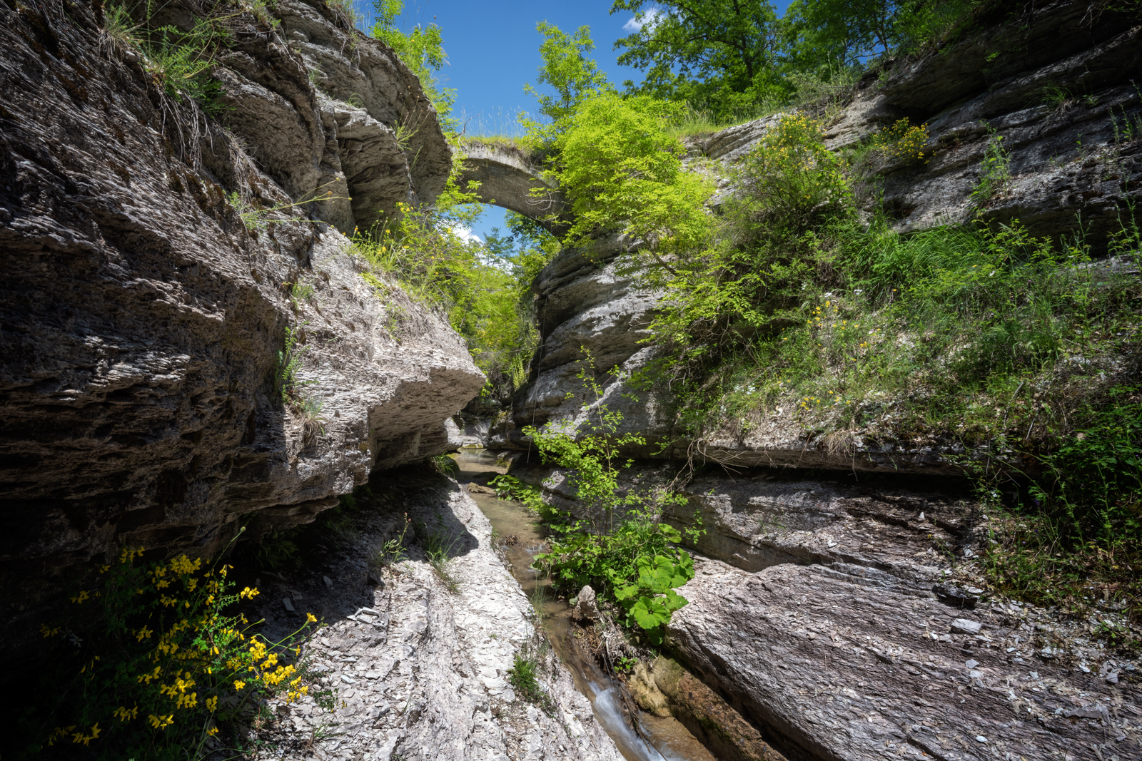
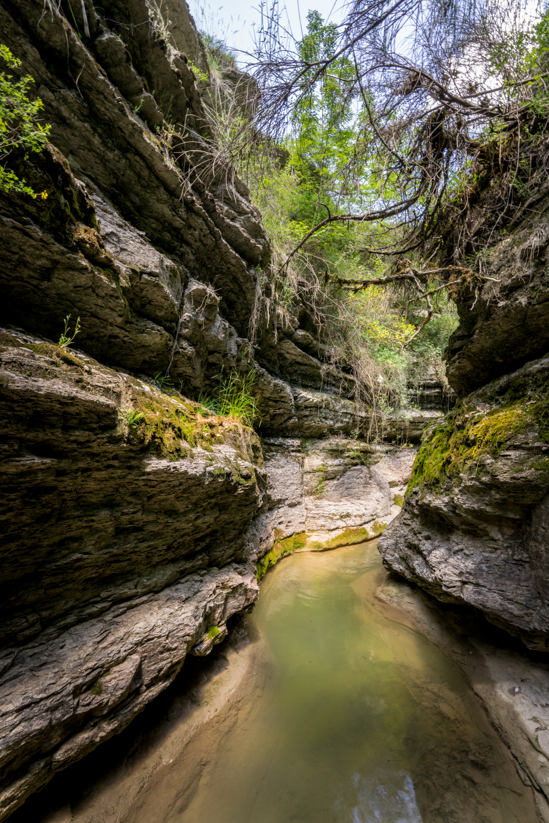
Another karstic phenomenon of interest and linked to legends of local tradition is the Orrido delle Carceri. The swallowhole channels seepage waters, collecting them in a large underground cavity. A popular belief holds that it fills with water only on the occasion of wars and particularly important events.
Near Prati Pistello, there is an approximately 10-metre-deep sinkhole entirely in the Scaglia Rossa rock formation (along path 361).
